A geographic information systems or GIS refers to computer systems, applications and methods for storing, retreving, processing and visualising geographical information such as maps, landuse, locations of landmarks, and routes. The data may concern particular locations, and often data is encoded this way, but more generally features have extent, so better systems also allow, regions (e.g. a country or lake) or paths (e.g a river or road). In some case, for example geological data, elevation (or depth) may be important leading to what is effectively 3D data. One is often interested in retreiving things that are, for example, close to location or contained within a region not just exect matches, hence special data structures may be required to manage queries about locations, including quadtrees for 2D locations or octrees for 3D positions.
Used in Chap. 10: page 135; Chap. 12: page 173
Also known as: GIS, graphical information systems
Used in glossary entries: octree, quadtree
Links:
 osgeo.org: The Open Source Geospatial Foundation
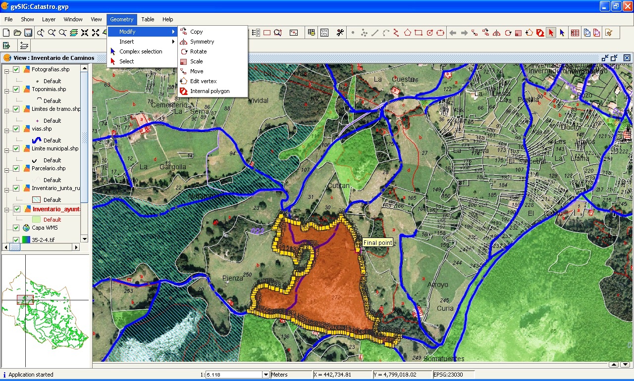
Editing a cartography layer with gvSIG open source GIS software (Source: Emilio Gómez Fernández, CC BY-SA 3.0 via Wikimedia Commons)